AUTUMN STREAM
Follow the water.
Golden foliage and flowing water, seen from above.

Drone photo, video, thermal and mapping portfolio
Explore our aerial imagery, thermal imaging, and mission-planning capabilities.
Aerial imagery
A closer perspective on Colorado landscapes, from tree-lined streams to open mountain water.
AUTUMN STREAM
Golden foliage and flowing water, seen from above.
MOUNTAIN WATER
Open water, mountain ridges, and the changing colors of the shoreline.
Capability footage
These recordings show RangeVector's mission-planning, aircraft-interface, and imaging capabilities. They are not presented as completed client projects.
01 · FLIGHT AWARENESS
Aircraft-camera imagery, telemetry, orientation, and a live map inset combine in one operational display to support location awareness and deliberate flight decisions.
02 · THERMAL IMAGING
Thermal footage demonstrates roof and exterior heat contrast, adjustable palettes, and the close inspection view available during aerial data collection.
03 · MISSION PLANNING
Our custom mission-planning software converts selected areas and structures into repeatable flight paths for mapping, inspections, and structured aerial operations.
04 · AIRCRAFT SYSTEMS
Aircraft close-ups, camera-gimbal movement, and ascent footage bring our field equipment into view. A short, silent demonstration montage, edited with speed changes—not a continuous flight or client case study.
Work categories
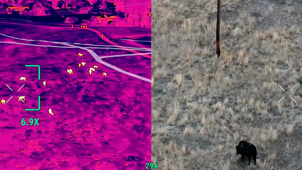
RangeVector capability imagery
Field-informed aerial search
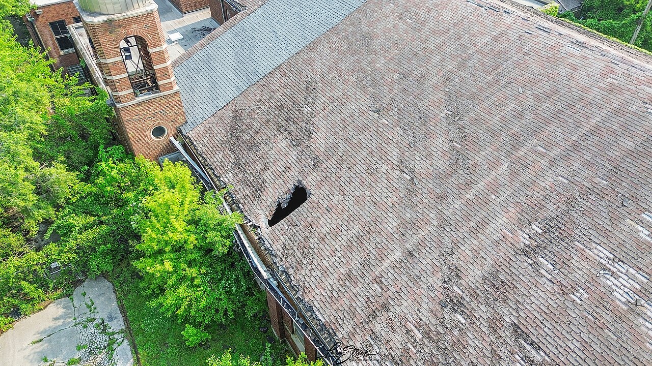
Illustrative example
Roof and building documentation
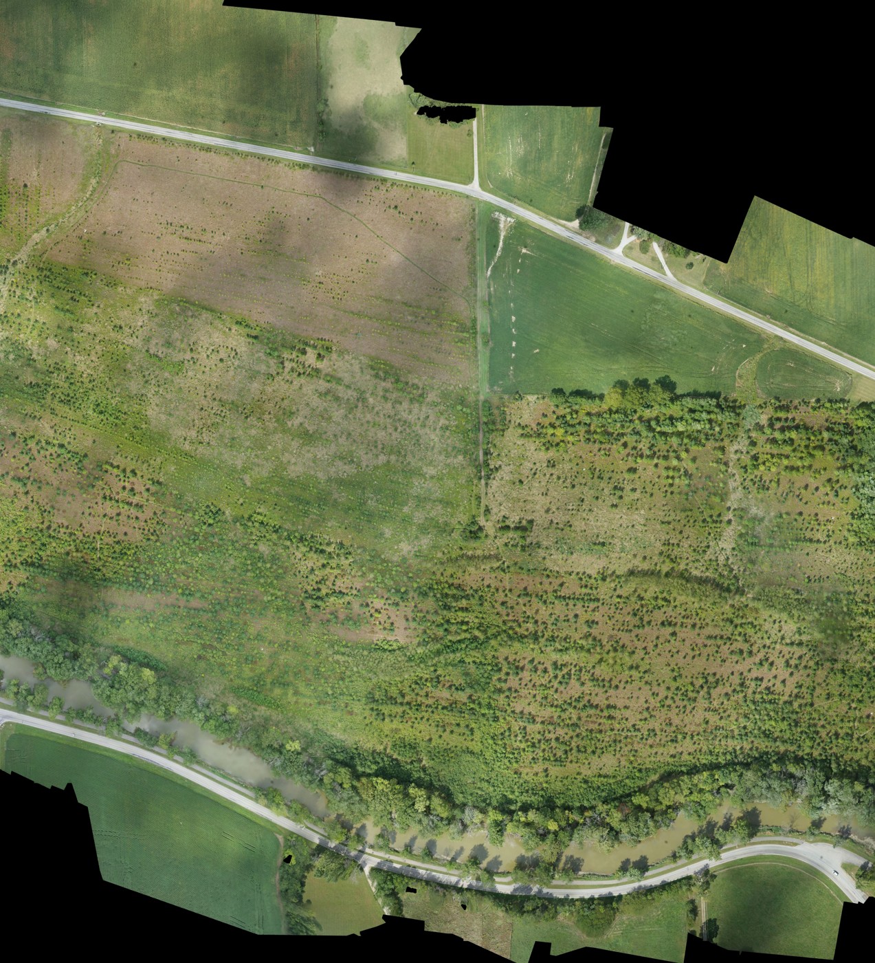
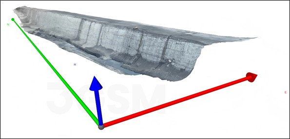
Illustrative examples
Orthomosaics and three-dimensional site models
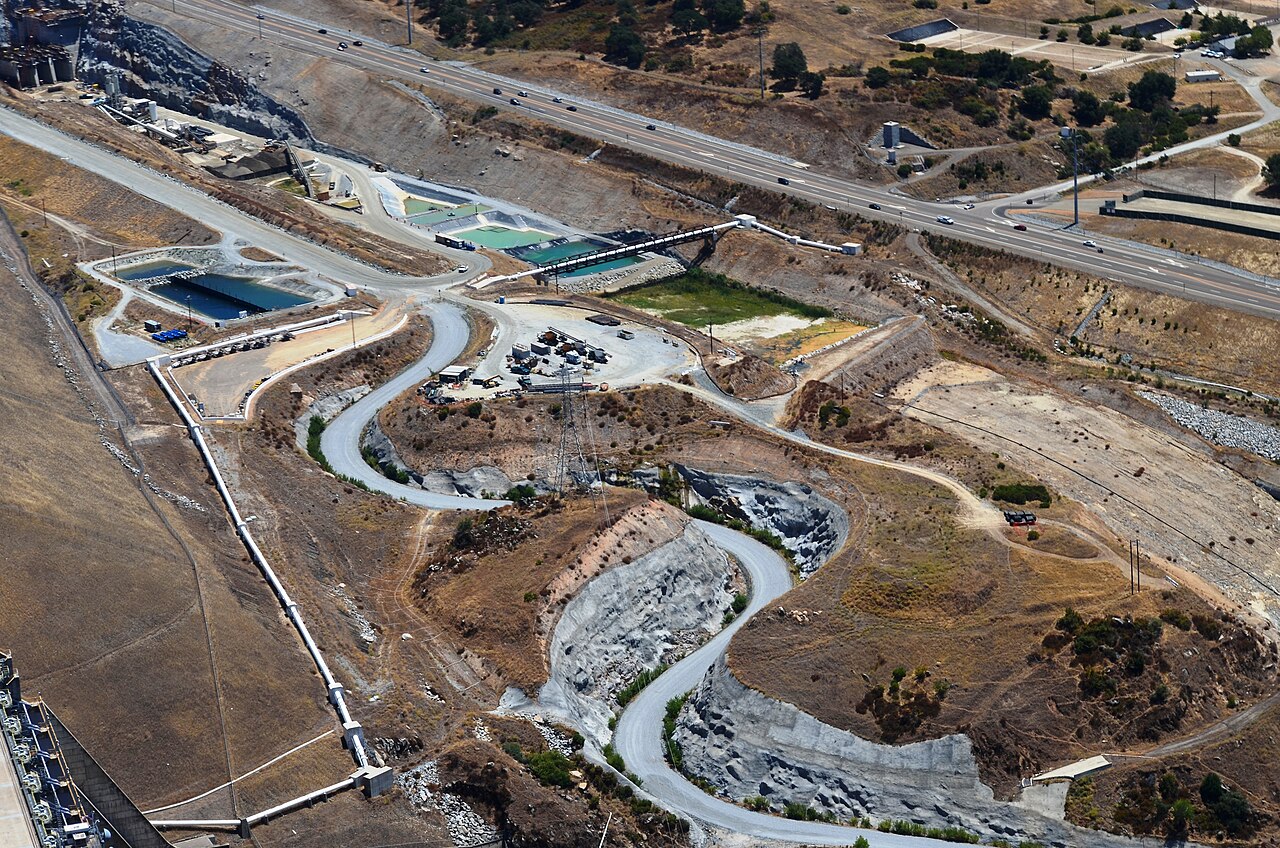
Illustrative example
Aerial views for progress documentation
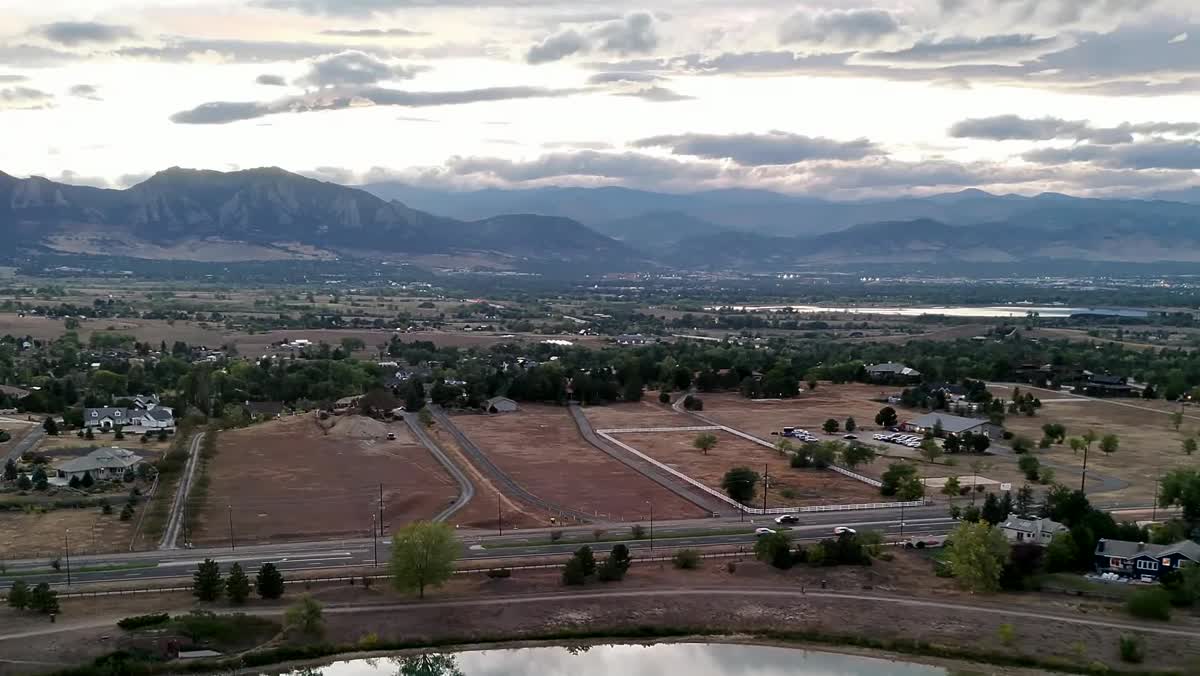
RangeVector capability imagery
Property and landscape perspectives
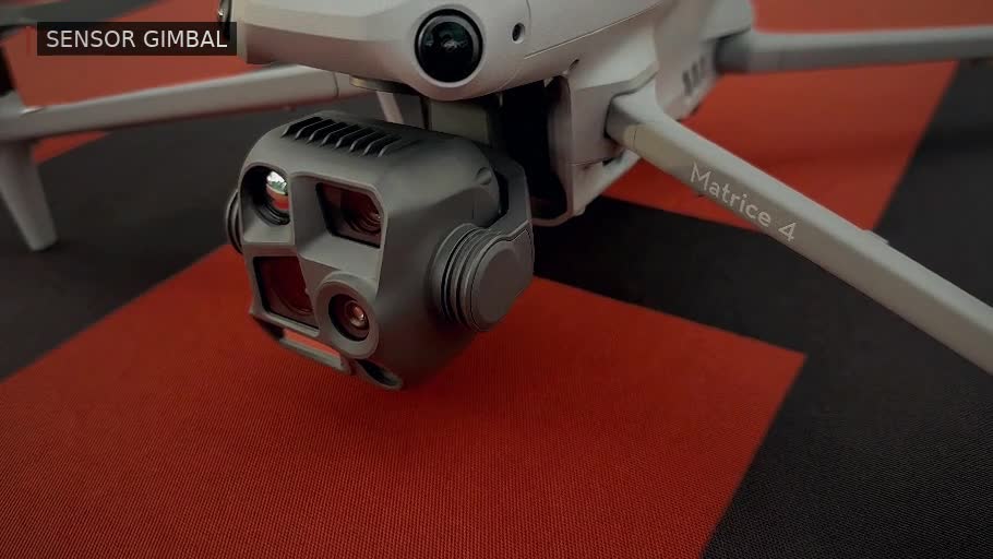
RangeVector capability imagery
Aircraft and field systems
RangeVector imagery is drawn from our own capability footage. Images labeled “Illustrative example” show the type of subject or output a service can involve; they are not RangeVector client projects.
Have a project?


